

Understanding the Coastal Operating Profile System
How the grading and calibration framework converts descriptive cruising information into a consistent operational assessment for UK liveaboard and cruising boaters.
Purpose of the System
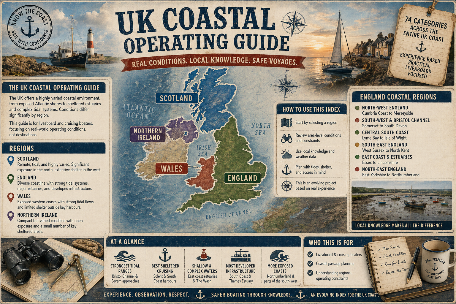
The Coastal Operating Profile system is designed to standardise how UK coastal cruising areas are assessed for practical boating use. Rather than producing destination reviews or travel-style descriptions, the framework focuses on operational boating realities including tides, exposure, navigation complexity, anchoring practicality, infrastructure, and long-term liveaboard suitability.
The goal is consistency. Every coastal region is measured against the same national reference scale so that boaters can compare one area directly with another using a common operational language.
Core Principle: Evidence-Based Extraction
The framework only uses information that is either:
- Explicitly stated in the source article, or
- Strongly implied by the operational context provided.
The system does not speculate, infer unsupported conclusions, or introduce outside knowledge. If the source article does not provide enough operational evidence for a reliable assessment, the category is marked as:
“Unclear”
This prevents unsupported assumptions and maintains consistency across all cruising grounds.
Why UK-Wide Calibration Matters
One of the most important parts of the framework is the UK-wide calibration rule.
Ratings are not judged relative to the specific article being analysed. Instead, every assessment is compared against typical conditions found throughout the UK coastline.
For example:
- A location with moderate tidal streams in southwest England would not automatically receive a “High” tidal rating simply because the local article describes them as challenging.
- Similarly, a sheltered estuary in Scotland would not automatically receive a “Low” exposure rating unless it is genuinely sheltered compared with wider UK coastal conditions.
This calibration system ensures that:
- “High tidal complexity” means the same thing nationally,
- “Severe weather exposure” reflects true UK coastal exposure standards, and
- overall cruising difficulty remains comparable across all regions.
The Operational Categories Explained
Tidal Complexity
Assesses the operational importance of tides, tidal streams, drying areas, timing requirements, and tidal gate considerations.
- Low: Minimal tidal influence
- Moderate: Noticeable tidal planning required
- High: Strong streams or significant timing considerations
- Extreme: Complex estuaries, major tidal gates, or very large tidal ranges
Weather Exposure
Measures how exposed the cruising area is to open sea conditions, fetch, swell, and prevailing weather systems.
- Sheltered: Inland or highly protected waters
- Moderate: Partial coastal exposure
- Exposed: Open coast with limited protection
- Severe: Atlantic or North Sea exposure with significant swell and weather influence
Shelter Availability
Evaluates the availability and reliability of protected stopping points during changing conditions.
Navigation Complexity
Assesses the level of planning, pilotage awareness, channel management, hazard avoidance, and chart interpretation required.
Anchorage Availability
Measures how easily safe and reliable anchoring opportunities can be found across varying conditions.
Liveaboard Practicality
Focuses on long-term afloat living considerations including access to services, provisioning, marina support, transport, maintenance access, and seasonal usability.
Shore Access
Evaluates how easily boaters can land ashore and access transport links, towns, and facilities.
Infrastructure Level
Measures the density and reliability of marinas, ports, fuel availability, repair facilities, chandlery access, and support services.
Seasonal Reliability
Assesses how consistently usable the cruising area remains throughout the year, including seasonal weather disruption and operational limitations.
Overall Cruising Difficulty Scale
The final cruising difficulty score combines all operational factors into a simplified UK-wide reference scale.
- 1: Very easy cruising environment
- 2: Generally manageable with planning
- 3: Regular tidal and weather awareness required
- 4: Demanding coastal environment
- 5: Advanced cruising environment requiring significant skill and care
This score is not intended as a measure of destination quality or attractiveness. It is purely an operational boating assessment designed to help skippers understand the practical demands of cruising the area safely and comfortably.
Why the Framework Avoids Speculation
The system deliberately avoids adding assumptions that are not supported by the source material.
For example:
- If no anchoring information is provided, anchorage reliability cannot be assumed.
- If no marina or harbour services are described, infrastructure cannot be upgraded automatically.
- If weather exposure is not operationally described, the rating remains conservative.
This extraction discipline ensures that every Coastal Operating Profile remains consistent, reproducible, and operationally trustworthy.
How Boaters Benefit From the System
The Coastal Operating Profile allows boaters to quickly compare cruising grounds using a standard operational structure rather than relying on subjective descriptions.
It provides a fast-reference overview of tidal demands, weather exposure, navigation workload, anchoring practicality, shore access, infrastructure support, and long-term cruising suitability — all calibrated against the same UK coastal reference framework.
Operational Consistency Standards
The framework is intentionally conservative in its assessments. Operational ratings prioritise safety, consistency, and reproducibility over descriptive storytelling or promotional language.
By maintaining fixed grading definitions and national calibration standards, the system creates a structured operational reference library that remains comparable across all UK cruising regions.
Intellectual Property & Usage Notice
The UK Coastal Operating Guide™, including the Coastal Operating Profile™ framework, grading methodology, calibration structure, operational categorisation system, written content, graphical presentation, scoring architecture, and associated datasets, constitutes original intellectual property developed exclusively by the site owner.
All content, methodology design, analytical structures, terminology, imagery, graphics, and associated materials published within this system are protected under applicable copyright, database rights, intellectual property, and unfair competition laws.
Unauthorised reproduction, replication, extraction, adaptation, commercial reuse, systematic copying, automated scraping, derivative grading systems, or redistribution of any substantial part of the Coastal Operating Profile framework or supporting materials — whether in whole or in part — is expressly prohibited without prior written permission.
This includes, but is not limited to:
- Replication of the grading methodology or calibration structure
- Reuse of category definitions or operational scoring frameworks
- Extraction or reproduction of compiled coastal assessment data
- Use of substantially similar operational classification systems derived from this framework
- Republishing or commercial exploitation of associated imagery, graphics, or written content
The framework has been developed as a continuously expanding operational reference system and is actively maintained as proprietary work product.
Unauthorised use may result in formal enforcement action where appropriate.
For licensing, syndication, commercial use, or authorised collaboration enquiries, please contact the site owner at


Comments