




Lyme Bay Coastline
Overview
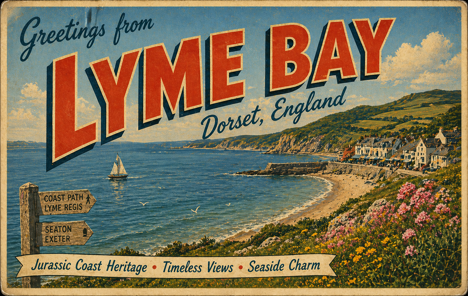
Lyme Bay is a broad open stretch of coastline on the south coast of England, extending between the eastern Devon and western Dorset shores. It is characterised by a gently curving shoreline, with a mix of low cliffs, shingle beaches, and small harbour settlements.
The bay is largely exposed to the south and south-east, with relatively few natural features providing consistent shelter. Conditions can vary significantly depending on weather patterns moving in from the English Channel.
Local Operating Context (for Liveaboard Boaters)
For liveaboard boaters, Lyme Bay presents a generally open operating environment with limited opportunities for prolonged shelter outside established harbours. Passage planning is often shaped by weather windows rather than fixed stopping points.
Anchorages within the bay are typically fair-weather options, with holding conditions and exposure varying along the shoreline. The seabed composition can change between sand, shingle, and mud, depending on location.
Harbour access points are spaced along the coast, though entry may be influenced by swell and tidal conditions. Careful timing is often required, particularly in more exposed locations.
Traffic levels can fluctuate seasonally, with increased recreational and fishing activity during warmer months. Awareness of local navigation patterns is advisable when operating close to shore.
Typical Conditions
- Prevailing south-westerly winds can generate moderate to rough sea states
- Periods of calm weather may produce relatively settled surface conditions
- Residual swell can persist even after winds ease
- Tidal streams are generally moderate but may interact with wind to create uneven seas
Access & Shelter
- Natural shelter is limited along much of the open bay
- Some temporary anchorage may be found in settled weather near the coast
- Harbours provide more reliable refuge but may be affected by swell on approach
- Conditions at entry points often depend on wind direction and recent weather patterns
Shore Interaction
- Landing is commonly via beaches or harbour access points where available
- Shorelines vary between shingle and sand, influencing ease of landing
- Access to inland areas typically occurs through established coastal settlements
- Tidal range may affect the practicality of going ashore at certain locations
Risk Factors
- Exposure to changing weather conditions across a wide open bay
- Limited immediate shelter in deteriorating conditions
- Swell affecting harbour entrances and nearshore areas
- Variable seabed conditions influencing anchoring reliability
Overall Character
Lyme Bay has an open and weather-dependent character, with conditions that can shift quickly in response to offshore influences. It tends to favour cautious passage planning and short stays aligned with stable forecasts.
Notable Locations
-
Lyme Regis – A historic coastal town with a harbour that may offer partial shelter depending on conditions.
-
West Bay – A small harbour area where access can be influenced by swell and tidal state.
-
Beer Head – A prominent headland marking a change in coastal orientation, often exposed to prevailing winds.
-
Exmouth – Located at the mouth of an estuary, offering more sheltered waters further inland.
Practical Mooring & Anchorage Locations
Lyme Regis Harbour
- Type: Harbour
- Shelter: North, north-west, west
- Exposure: South and south-east swell; uncomfortable in onshore winds
- Key Constraints: Narrow entrance with swell at certain states of tide; limited space inside
- Traffic Level: High
- Liveaboard Suitability: Medium
- Notes: Small historic harbour with restricted access in poor swell conditions. Best used in settled weather windows.
West Bay Harbour (Bridport Harbour)
- Type: Harbour
- Shelter: North, north-east, east
- Exposure: South-west swell can wrap into entrance; uncomfortable in strong onshore winds
- Key Constraints: Bar and entrance affected by swell and tide; drying areas in parts of the harbour
- Traffic Level: Medium
- Liveaboard Suitability: Low
- Notes: Functional fishing harbour with limited long-stay comfort for liveaboards. Entry timing is important due to swell exposure.
Exmouth (River Exe & Marina)
- Type: Estuary / Marina / River Mooring
- Shelter: All directions once inside the estuary
- Exposure: Outer bar exposed to south-west swell; entrance can be rough in strong conditions
- Key Constraints: Shifting sandbar at river mouth; tidal restrictions for safe entry
- Traffic Level: High
- Liveaboard Suitability: High
- Notes: One of the more sheltered extended-stay options in the Lyme Bay area. The estuary provides significantly improved protection once inside.
Torquay Harbour
- Type: Harbour / Marina
- Shelter: North, east, west
- Exposure: South and south-east swell during strong offshore weather systems
- Key Constraints: Busy marina with seasonal congestion; limited space during peak periods
- Traffic Level: High
- Liveaboard Suitability: High
- Notes: Well-protected harbour within Tor Bay offering reliable access. Generally comfortable for longer stays with good infrastructure.
Brixham Harbour
- Type: Harbour / Marina
- Shelter: North, east, west
- Exposure: South-easterly swell can enter outer harbour areas in poor conditions
- Key Constraints: Busy commercial fishing port; manoeuvring space can be limited
- Traffic Level: High
- Liveaboard Suitability: High
- Notes: Strong shelter within Tor Bay with extensive marina facilities. Commercial traffic requires awareness during entry and exit.
Dartmouth (River Dart)
- Type: Estuary / River Mooring / Harbour
- Shelter: All directions within the river
- Exposure: Entrance can be affected by Atlantic swell and wind against tide conditions
- Key Constraints: Narrow, tidal river entrance; strong tidal streams in places
- Traffic Level: Medium
- Liveaboard Suitability: High
- Notes: One of the most sheltered inland waterways in Lyme Bay. Offers multiple mooring and anchorage options further upriver.
Operational Support Infrastructure (Public Services)
Healthcare
Healthcare services are available within coastal towns and larger inland centres, with hospitals and clinics distributed across the wider region.
Emergency Services
Emergency response is coordinated through national services, including maritime rescue coverage along the coastline and standard land-based emergency support.
Postal Services
Postal facilities are generally accessible in coastal settlements and nearby towns, with standard UK service coverage.
Civic Services
Local authorities provide routine civic services across the region, including waste management and public amenities within populated areas.
Visitor Information
Visitor information is typically available through local centres and regional resources, offering general guidance on the surrounding coastal area.
Practical Notes for Boaters
This section will be developed over time based on direct experience and relevant contributions. The focus is on practical usefulness rather than completeness.
From the Project
Observations and notes from the ongoing boat conversion and coastal exploration project will be added here as they become available.
Related Knowledge Base
- Coastal erosion processes
- Sedimentary rock formations
- Harbour types and access
- Tidal patterns and coastal conditions
Status
This is part of a growing coastal index. Content will be expanded over time as the project develops.