



Norfolk Coast
Overview
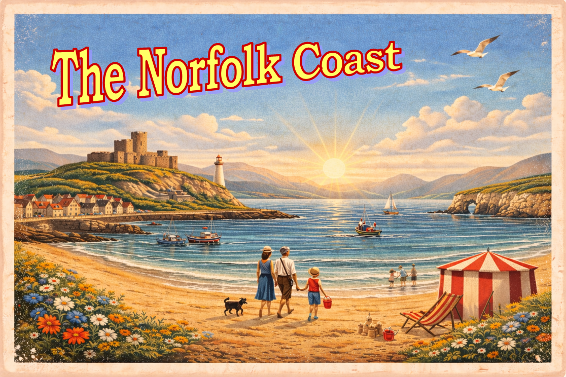
The Norfolk Coast faces the North Sea and is characterised by long sandy beaches, dune systems, estuarine waters, and low-lying coastal plains. It includes both exposed open coastline and more sheltered areas influenced by the Norfolk Broads river and lagoon system.
The coastline is generally low-lying, with few natural high points, and is shaped by sediment movement, tidal flows, and longshore drift. Offshore conditions can vary significantly with easterly and north-easterly weather systems.
Local Operating Context (for Liveaboard Boaters)
Prevailing northerly and easterly winds can create short, steep seas and uncomfortable nearshore conditions. The area is exposed to North Sea weather systems, which can change rapidly with little warning.
Estuary systems such as the Yare, Bure, and Waveney provide more sheltered inland water and access routes, but require careful navigation due to shallow channels, shifting sands, and tidal constraints.
Tidal range is moderate but can produce strong local currents in estuary mouths and harbour entrances. Offshore anchoring is limited due to exposure and seabed conditions, with shelter primarily dependent on estuaries and ports.
Landing conditions vary significantly with swell direction, tide state, and beach profile, and many stretches of coastline offer limited safe shore access in moderate to rough conditions.
Notable Locations
- Great Yarmouth – Major port and river entrance at the River Yare with marina access and sheltered inland navigation routes.
- Cromer – Cliff-backed coastal town with a small harbour and limited shelter depending on conditions.
- King’s Lynn – Inland port accessed via The Wash, serving as a major regional service hub.
- Wells-next-the-Sea – Tidal harbour settlement on the north coast with access to sheltered coastal waters.
Practical Mooring & Anchorage Locations
Great Yarmouth (River Yare)
- Type: Harbour / Marina / River Mooring
- Shelter: Good shelter within river from all directions
- Exposure: Harbour entrance exposed to easterly and northerly conditions
- Key Constraints: Strong tidal flows, commercial traffic, fixed bridges upstream
- Traffic Level: High
- Liveaboard Suitability: Medium
- Notes: Reliable access to inland Broads system. Busy port environment with regulated navigation.
Wells-next-the-Sea
- Type: Tidal Harbour
- Shelter: Good shelter once inside harbour basin
- Exposure: Entrance channel exposed to northerly and easterly winds
- Key Constraints: Narrow shifting channel, tidal access windows, sandbanks
- Traffic Level: Medium
- Liveaboard Suitability: Low to Medium
- Notes: Entry requires careful pilotage and timing. Harbour dries in places at low water.
Blakeney Harbour
- Type: Tidal Harbour / Anchorage
- Shelter: Moderate shelter within inner harbour from westerly winds
- Exposure: Open to north and northeast across Blakeney Channel
- Key Constraints: Shifting sands, strong tides, drying areas
- Traffic Level: Low to Medium
- Liveaboard Suitability: Low
- Notes: Best suited to shallow-draft vessels. Anchorage conditions vary significantly with tide and weather.
Cromer
- Type: Small Harbour
- Shelter: Limited shelter from westerly winds
- Exposure: Highly exposed to north and east
- Key Constraints: Shallow access, surge in swell, limited berthing
- Traffic Level: Low
- Liveaboard Suitability: Low
- Notes: Not suitable for overnight stays in unsettled weather. Primarily used by local fishing vessels.
Lowestoft Harbour (via Waveney)
- Type: Harbour / Marina
- Shelter: Good shelter within harbour and inland waterways
- Exposure: Entrance affected by easterly and northerly seas
- Key Constraints: Bascule bridge openings, port traffic, tidal streams
- Traffic Level: Medium to High
- Liveaboard Suitability: Medium to High
- Notes: Provides access to southern Broads via River Waveney. Well-developed marina facilities.
King’s Lynn (River Great Ouse)
- Type: River Mooring / Port
- Shelter: Good shelter within river
- Exposure: The Wash approach exposed to strong winds and seas
- Key Constraints: Strong tidal currents, shallow approaches, commercial traffic
- Traffic Level: Medium
- Liveaboard Suitability: Medium
- Notes: Access dependent on tide and local knowledge. Facilities available within town area.
Operational Support Infrastructure (Public Services)
Healthcare
Norfolk and Norwich University Hospital – Norwich – Main acute hospital with full A&E services for the region.
James Paget University Hospital – Gorleston (Great Yarmouth) – Major A&E hospital serving the eastern coastal area.
Queen Elizabeth Hospital – King’s Lynn – Main A&E hospital for western Norfolk and The Wash area.
Cromer Hospital – Cromer – Community hospital with minor injuries unit and outpatient services.
Emergency Services
Norfolk Constabulary (Great Yarmouth Station) – Great Yarmouth – Primary police coverage for the eastern coast.
Norfolk Constabulary (King’s Lynn Station) – King’s Lynn – Coverage for western Norfolk and Wash approaches.
Postal Services
Great Yarmouth Post Office – Great Yarmouth – Main postal hub for eastern coastal services.
King’s Lynn Post Office – King’s Lynn – Primary postal hub for western coastal region.
Civic Services
Great Yarmouth Borough Council – Great Yarmouth – Local authority services for the eastern coastal district.
North Norfolk District Council – Cromer – Administrative services for central and northern coastal areas.
King’s Lynn & West Norfolk Borough Council – King’s Lynn – Local authority services for western Norfolk and The Wash.
Visitor Information
Great Yarmouth Tourist Information Centre – Great Yarmouth – Seasonal visitor support and coastal guidance.
Cromer Visitor Information – Cromer – Local tourism and coastal information point.
Practical Notes for Boaters
The Norfolk Coast combines exposed North Sea coastline with more sheltered inland waterways via the Broads system. Offshore conditions can deteriorate quickly in easterly weather, limiting safe anchoring options along open stretches.
Most essential services are concentrated in Great Yarmouth, Norwich, and King’s Lynn, meaning inland travel is often required from coastal access points. Smaller settlements provide limited but useful local support.
The Broads system provides the most reliable sheltered cruising and access to services for liveaboard vessels in the region.
From the Project
Observations and notes from ongoing boat-based coastal exploration will be added to this section over time as the project develops.
Related Knowledge Base
- North Sea coastal weather systems
- Estuarine tidal dynamics
- Coastal erosion and sediment transport
- Shallow water navigation in river mouths
- Low-lying coastal flood risk environments
Status
This is part of a growing coastal index. Content will be expanded over time as the project develops.