




Somerset Coast
Overview
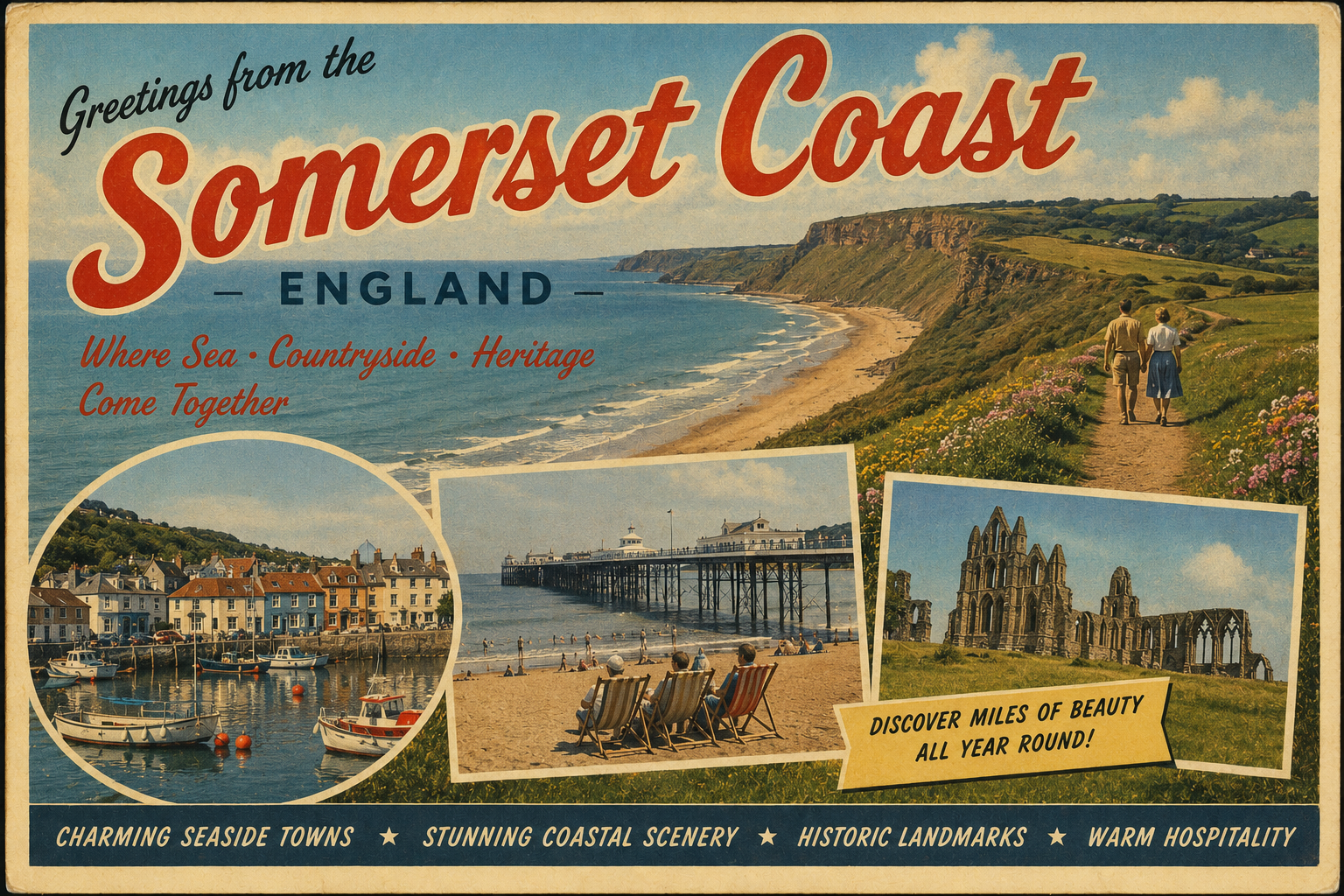
The Somerset coast forms part of the wider Bristol Channel shoreline in south-west England. It is generally low-lying in character, with long stretches of tidal mudflats and sand, particularly towards the eastern sections.
The coastline is influenced by strong tidal ranges and shifting coastal conditions, which can affect navigation and anchorage planning for vessels operating nearby.
Local Operating Context (for Liveaboard Boaters)
Conditions along this coast are shaped by one of the larger tidal ranges in the UK. Water levels can change significantly over relatively short periods, exposing extensive intertidal areas.
The coastline is often shallow and may require careful attention to tidal timing when approaching or leaving certain inshore waters. Grounding risk can increase in areas of soft sediment.
Exposure to westerly and north-westerly winds can create uncomfortable sea states in open sections of the Bristol Channel, particularly where there is limited natural shelter.
Harbour access in the broader region is typically constrained by tides, and planning around tidal windows is generally important for safe passage.
Typical Conditions
- Large tidal range with rapidly changing water levels
- Variable visibility in coastal and estuarine zones
- Exposure to Atlantic swell entering the Bristol Channel
- Soft seabed areas that may shift over time
Access & Shelter
- Limited natural deep-water shelter along open stretches
- Some protection may be found within estuaries and bays
- Tidal planning often necessary for coastal entry points
- Anchor holding conditions can vary with sediment type
Shore Interaction
- Extensive intertidal flats may restrict landing opportunities
- Some populated areas lie set back from the immediate shoreline
- Access to services may require inland travel from the coast
- Foreshore conditions can change significantly with tide state
Risk Factors
- Strong tidal currents in channels and estuarine areas
- Rapidly drying mudflats presenting grounding hazards
- Exposure to wind-driven chop in open sections
- Navigation complexity in shallow or shifting waters
Overall Character
The Somerset coast is generally quiet and open in character, with broad tidal landscapes and a strong sense of natural coastal change. It is more functional than sheltered, with conditions often shaped by tide and weather patterns.
Notable Locations
Weston-super-Mare – Broad sandy shoreline with extensive tidal range and drying foreshore at low water.
Burnham-on-Sea – Estuarine setting where navigation is influenced by shifting sands and tidal channels.
Bridgwater Bay – Wide, shallow bay area with exposed mudflats and limited natural shelter.
Porlock Bay – Shingle barrier coast with variable exposure and constrained inshore waters.
Practical Mooring & Anchorage Locations
Watchet Harbour
- Type: Harbour / Marina
- Shelter: Protected from easterly and south-easterly winds
- Exposure: Uncomfortable in strong westerly and north-westerly winds with swell penetration on outer approaches
- Key Constraints: Tidal access with a drying harbour at low water; approach requires careful timing over the bar and within the channel
- Traffic Level: Medium
- Liveaboard Suitability: Medium
- Notes: Small working harbour with visitor and leisure moorings. Best used with full tidal awareness due to restricted water depths.
Minehead Harbour
- Type: Harbour
- Shelter: Moderate shelter from easterly winds within harbour area
- Exposure: Open to north-westerly and westerly winds; significant tidal surge possible in exposed conditions
- Key Constraints: Strong tidal range; limited water at low tide; drying areas restrict movement and mooring options
- Traffic Level: Low
- Liveaboard Suitability: Low
- Notes: Primarily a fishing and small craft harbour. Short stays are more practical than extended liveaboard use.
Porlock Weir Harbour
- Type: Harbour
- Shelter: Good protection from easterly and south-easterly winds
- Exposure: Vulnerable to westerly swell and strong north-westerly winds
- Key Constraints: Very limited water depth at low tide; entrance and basin heavily tide-dependent
- Traffic Level: Low
- Liveaboard Suitability: Low
- Notes: Small historic harbour with restricted access window. Suitable for short stops rather than continuous occupancy.
Burnham-on-Sea (River Parrett Approach)
- Type: Harbour / Estuary
- Shelter: Some shelter from easterly winds within the estuarine channel
- Exposure: Exposed to Atlantic swell and strong westerly winds across Bridgwater Bay approaches
- Key Constraints: Extensive shifting sands and marked tidal channel changes; navigation is highly tide-dependent
- Traffic Level: Medium
- Liveaboard Suitability: Medium
- Notes: Channel conditions can change seasonally, requiring local knowledge for safe entry. Anchorage options are limited to defined tidal windows.
Bridgwater Docks (River Parrett / Bridgwater & Taunton Canal)
- Type: River Mooring / Inland Dock
- Shelter: Fully sheltered from coastal weather and sea state
- Exposure: No direct wave exposure; wind funnel effects possible within dock areas
- Key Constraints: Tidal river access required to reach entrance; limited bridge clearance and lock access controls movement
- Traffic Level: Low
- Liveaboard Suitability: High
- Notes: Suitable for extended stays and liveaboard use on appropriate vessels. Primarily inland waterway environment with coastal access via tidal River Parrett.
Operational Support Infrastructure (Public Services)
Healthcare
Healthcare provision is generally based in inland towns and larger settlements, with coastal access points typically relying on regional facilities rather than immediate shoreline services.
Emergency Services
Emergency response coverage is coordinated from inland hubs, with coastal incidents often dependent on tidal access and local conditions affecting response times.
Postal Services
Postal infrastructure is primarily located in surrounding towns, with coastal stretches themselves having limited direct service points.
Civic Services
Civic administration is managed through district and county structures, with services generally centred away from the immediate shoreline.
Visitor Information
Information for visitors is typically available in larger coastal towns and nearby settlements, with some seasonal variation in service availability depending on location.
Practical Notes for Boaters
This section will be developed over time based on direct experience and relevant contributions. The focus is on practical usefulness rather than completeness.
From the Project
Observations and notes from the ongoing boat conversion and coastal exploration project will be added here as they become available.
Related Knowledge Base
- Coastal erosion processes
- Sedimentary rock formations
- Harbour types and access
- Tidal patterns and coastal conditions
Status
This is part of a growing coastal index. Content will be expanded over time as the project develops.