




The Wash Coast
Overview
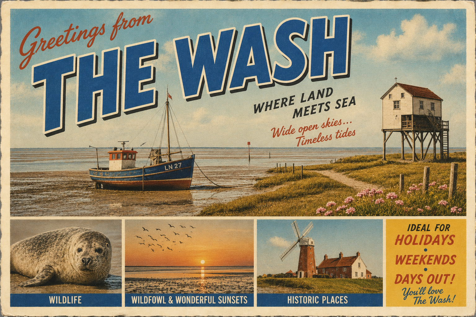
The Wash is a large estuarine inlet on the east coast of England, lying between Norfolk and Lincolnshire. It is characterised by extensive intertidal flats, shifting channels, and a coastline that changes noticeably with the tide.
The area forms part of a dynamic coastal system influenced by sediment movement and tidal flows from several rivers. Conditions at sea level can differ significantly between high and low water, with large areas exposed at low tide.
Local Operating Context (for Liveaboard Boaters)
The Wash is known for a relatively large tidal range, with extensive drying areas that require careful timing when transiting or anchoring. Navigation often depends on understanding the movement of water across shallow banks.
Shelter is limited in many parts of the estuary, and exposure to North Sea weather systems can result in uncomfortable or challenging conditions, particularly with onshore winds.
Charted channels are important for safe passage, though sediment movement can alter local depths and alignment over time. Up-to-date navigation information is therefore essential.
Settlements are present around the edges of the estuary, but services and supplies are often set back from the immediate shoreline, requiring some inland planning for provisioning or access.
Typical Conditions
- Strong tidal streams in channels and approaches
- Extensive mudflats exposed at low water
- Occasional fog and reduced visibility
- Exposure to prevailing winds from the North Sea
Access & Shelter
- Access primarily via defined estuary channels
- Shelter varies significantly with wind direction
- Few naturally protected anchorages in open areas
- Tidal timing is critical for safe entry and exit
Shore Interaction
- Predominantly muddy and soft foreshore
- Limited practical landing opportunities
- Saltmarsh margins in more sheltered areas
- Very shallow gradients extending offshore
Risk Factors
- Rapidly changing tidal conditions
- Shifting sand and silt channels
- Grounding risk on drying banks
- Exposure to unsettled weather patterns
Overall Character
The Wash presents a broad, low-lying estuarine environment shaped by tides and sediment movement. It is generally quiet and open in feel, with a working coastal landscape that changes markedly between tidal states.
Notable Locations
The Wash – Broad estuarine system with extensive tidal flats requiring careful navigation planning.
Hunstanton – Coastal town on the Norfolk side, used as a reference point for the northern approaches.
Boston – Historic port settlement on the Lincolnshire side connected to inland waterways and estuary access.
King’s Lynn – River port at the southern edge of the system, linking the estuary to inland river navigation.
Practical Mooring & Anchorage Locations
King's Lynn
- Type: River Harbour / Marina
- Shelter: Good shelter within the River Great Ouse from most wind directions.
- Exposure: Strong winds against tide can create difficult conditions in the estuary approaches.
- Key Constraints: Tidal access restrictions, shifting approach channels, commercial traffic.
- Traffic Level: Medium
- Liveaboard Suitability: Medium
- Notes: Established river access point with marina facilities nearby. Access timing is important due to shallow approaches.
Boston
- Type: River Harbour / Marina
- Shelter: Well sheltered within the River Witham and dock areas.
- Exposure: Outer estuary approaches can become uncomfortable in strong easterlies.
- Key Constraints: Lock access, tidal timing, commercial and fishing traffic.
- Traffic Level: Medium
- Liveaboard Suitability: Medium
- Notes: Provides access to inland waterways and town services. Approach channels require current local information.
Wisbech
- Type: River Mooring / Harbour
- Shelter: Strong shelter within the River Nene from all directions.
- Exposure: Entrance channel exposed during unsettled weather and strong onshore winds.
- Key Constraints: Tidal river conditions, silting, bridge and lock considerations.
- Traffic Level: Low
- Liveaboard Suitability: Medium
- Notes: Common stopping point for vessels using the Nene connection. Facilities are more limited than larger ports.
Sutton Bridge
- Type: River Mooring / Harbour
- Shelter: Good shelter inside the River Nene approaches.
- Exposure: Wash approaches exposed to northerly and easterly weather systems.
- Key Constraints: Strong tidal streams, bridge operations, shifting channels.
- Traffic Level: Low
- Liveaboard Suitability: Low
- Notes: Primarily practical as a tidal waiting and transit location. Limited long-term liveaboard infrastructure.
Wells-next-the-Sea
- Type: Harbour
- Shelter: Moderate shelter within the harbour and channel in settled conditions.
- Exposure: Exposed to strong northerly and north-easterly winds.
- Key Constraints: Narrow shifting entrance channel, tidal access limitations, drying areas.
- Traffic Level: Medium
- Liveaboard Suitability: Low
- Notes: Frequently used by local fishing and leisure craft. Entry conditions can change significantly with sediment movement.
Brancaster Staithe
- Type: Harbour / Creek Mooring
- Shelter: Reasonable shelter within the creek from southerly and westerly winds.
- Exposure: Exposed to strong northerly conditions and swell entering from the Wash.
- Key Constraints: Drying harbour, narrow tidal access, soft mud banks.
- Traffic Level: Low
- Liveaboard Suitability: Low
- Notes: Mainly suited to shallow-draft and drying-capable vessels. Access windows are strongly tide dependent.
Operational Support Infrastructure (Public Services)
Healthcare
Healthcare facilities are located in nearby towns and inland centres, with more comprehensive hospital services found further away from the immediate shoreline.
Emergency Services
Maritime emergency response is coordinated through national coastguard services, with coverage extending across the estuary and offshore waters. Response times can vary with accessibility and tide state.
Postal Services
Postal and delivery services are generally available in surrounding towns, though more remote coastal and marsh areas may have limited direct access.
Civic Services
Local authority services are provided by coastal and inland councils across Norfolk and Lincolnshire, including management of coastal planning and environmental oversight.
Visitor Information
Visitor information services are typically based in nearby towns and settlements, offering general guidance on access, local conditions, and points of interest in the wider coastal region.
Practical Notes for Boaters
This section will be developed over time based on direct experience and relevant contributions. The focus is on practical usefulness rather than completeness.
From the Project
Observations and notes from the ongoing boat conversion and coastal exploration project will be added here as they become available.
Related Knowledge Base
- Coastal erosion processes
- Sedimentary rock formations
- Harbour types and access
- Tidal patterns and coastal conditions
Status
This is part of a growing coastal index. Content will be expanded over time as the project develops.