




Argyll North (Oban)
Overview
This section of the west coast of Scotland includes a varied and indented shoreline, with numerous islands, sea lochs, and exposed headlands. The area around Oban acts as a natural focal point for coastal movement, with access routes extending towards the Inner Hebrides. Conditions can vary considerably over short distances due to topography and tidal flow.
Local Operating Context (for Liveaboard Boaters)
Typical Conditions
- Weather patterns are influenced by Atlantic systems, bringing frequent changes in wind strength and direction.
- Sea states can build quickly in more open channels, particularly with opposing wind and tide.
- Visibility may reduce at times due to rain or sea mist, especially in transitional weather.
- Tidal streams are present throughout the area and can be locally strong in constricted passages.
Access & Shelter
- Numerous sea lochs and inlets may provide shelter, though exposure varies with wind direction.
- Open anchorages are common and may offer limited protection depending on conditions.
- Access between mainland and islands is generally straightforward but may involve tidal planning.
- Some areas are remote, with limited immediate alternatives in deteriorating weather.
Shore Interaction
- Shore access is often possible via small landing points, though terrain can be uneven or undeveloped.
- Settlements are scattered, with larger population centres concentrated around key harbours.
- Interaction with shore facilities may require planning due to variable availability.
- Natural surroundings dominate much of the coastline, with limited infrastructure in outlying areas.
Risk Factors
- Strong tidal flows in narrow sounds and channels can affect manoeuvrability.
- Exposure to Atlantic swell in more open waters can lead to uncomfortable or unsafe conditions.
- Rapid weather changes may reduce available shelter options.
- Navigational hazards such as rocks and shallows are present and require careful passage planning.
Overall Character
The area presents a mix of sheltered inshore routes and more exposed coastal passages. It is generally suited to cautious and adaptable cruising, where conditions are assessed regularly and routes remain flexible. The environment is often quiet and undeveloped, with a strong emphasis on natural features and variable weather influence.
Notable Locations
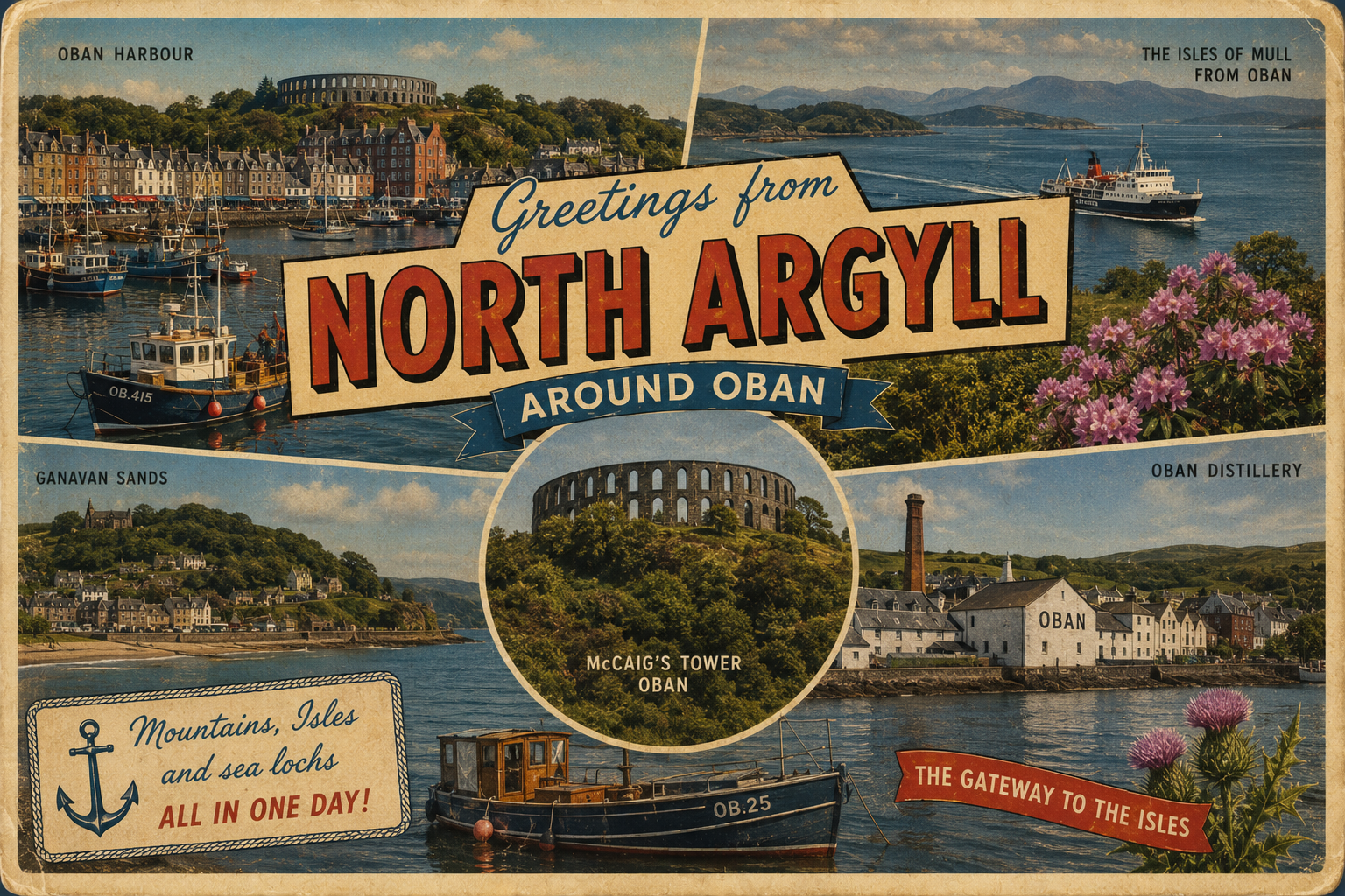
Oban – A central harbour area often used as a staging point for movement between mainland and islands, with relatively accessible approaches.
Sound of Mull – A narrow channel offering a more protected route between the mainland and the Isle of Mull, though tidal streams can be significant.
Loch Etive – A long sea loch extending inland, providing more enclosed waters but with constrained access and tidal considerations at its entrance.
Firth of Lorn – A broad expanse of water connecting multiple routes, which can be exposed to wind and swell depending on conditions.
Practical Mooring & Anchorage Locations
Oban Harbour
- Type: Harbour / Marina / Anchorage
- Shelter: Protected from E, SE, S winds
- Exposure: W and SW winds can bring swell and surge into outer approaches
- Key Constraints: Heavy ferry traffic, limited anchoring space in busy periods, tidal currents in approaches
- Traffic Level: High
- Liveaboard Suitability: High
- Notes: Main regional hub with multiple berthing options and services. Can be congested in peak season with commercial and ferry movements.
Dunstaffnage Marina
- Type: Marina
- Shelter: Well sheltered from most directions, particularly W and SW
- Exposure: Northerly winds can create chop in outer approaches
- Key Constraints: Narrow entrance channel with tidal considerations at low water
- Traffic Level: Medium-High
- Liveaboard Suitability: High
- Notes: Established marina with strong facilities and good protection. Popular long-stay base for cruising vessels.
Kerrera Sound
- Type: Anchorage / Mooring Field
- Shelter: Generally protected from Atlantic swell, good from W and SW winds depending on position
- Exposure: Easterly winds can funnel and create uncomfortable conditions
- Key Constraints: Variable holding in places, ferry wash near Oban side, depth variation
- Traffic Level: Medium
- Liveaboard Suitability: Medium
- Notes: Common staging and anchoring area opposite Oban. Offers flexibility but requires careful positioning for shelter.
Craobh Haven Marina
- Type: Marina
- Shelter: Well protected from all directions within basin
- Exposure: Outer approach exposed to SW swell in strong conditions
- Key Constraints: Tidal approach channel, limited space during peak cruising periods
- Traffic Level: Medium
- Liveaboard Suitability: High
- Notes: Purpose-built marina in a sheltered setting with good long-term berthing options. Popular with west coast cruisers.
Port Appin
- Type: Harbour / Moorings
- Shelter: Good protection from E and SE winds
- Exposure: W and SW winds can generate swell and uncomfortable conditions
- Key Constraints: Limited berthing availability, drying areas nearby, tidal depth considerations
- Traffic Level: Low-Medium
- Liveaboard Suitability: Medium
- Notes: Small working harbour with moorings and access to nearby routes. Quiet setting with limited services.
Loch Spelve
- Type: Anchorage / Sea Loch
- Shelter: Well sheltered from most directions once inside the loch
- Exposure: Outer entrance can be affected by wind-against-tide conditions in strong weather
- Key Constraints: Narrow entrance, tidal streams, limited services or shore facilities
- Traffic Level: Low
- Liveaboard Suitability: Medium-Low
- Notes: Remote and quiet anchorage area on the Isle of Mull side. Suitable for short stays and settled conditions rather than extended liveaboard use.
Practical Notes for Boaters
This section will be developed over time based on direct experience and relevant contributions. The focus is on practical usefulness rather than completeness.
From the Project
Observations and notes from the ongoing boat conversion and coastal exploration project will be added here as they become available.
Related Knowledge Base
- Coastal erosion processes
- Sedimentary rock formations
- Harbour types and access
- Tidal patterns and coastal conditions
Status
This is part of a growing coastal index. Content will be expanded over time as the project develops.