




Firth of Clyde (north) Coast
Overview
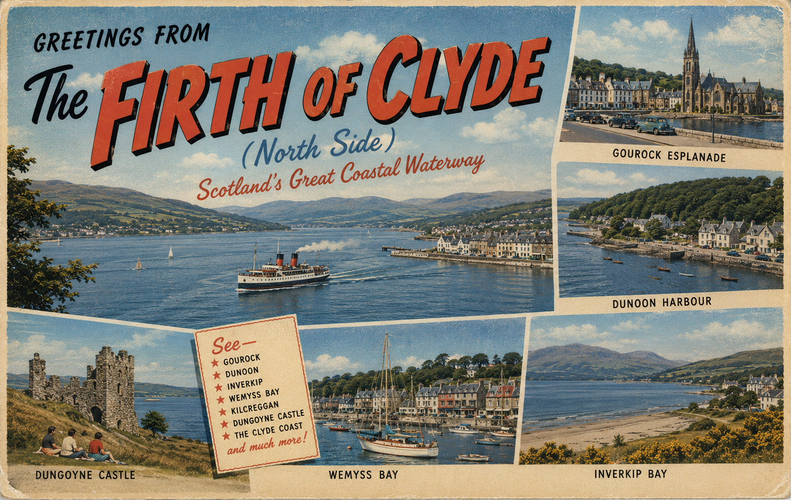
The north coast of the Firth of Clyde is shaped by a series of sea lochs and indented shorelines, creating a varied but generally sheltered coastal environment. Conditions can change noticeably between exposed stretches and the more enclosed waters of the lochs.
The area is influenced by both open water from the lower firth and narrower inland channels. This combination can produce localised wind effects and variable sea states, particularly around headlands and loch entrances.
Local Operating Context (for Liveaboard Boaters)
This coastline includes a mix of open firth waters and deeply incised sea lochs, which may offer varying degrees of shelter depending on wind direction and tide. Passage planning is often shaped by the need to move between more protected inshore areas and wider channels.
Some sections of shoreline are relatively accessible, while others are steep-to or limited by development and restricted zones. Care is generally needed when transiting narrow loch entrances where wind and tide can accelerate local conditions.
The presence of ferry routes and recreational traffic in parts of the firth may require heightened awareness, particularly in reduced visibility or confined waters.
Anchoring or short-term stopping options are typically influenced by seabed characteristics and exposure, which can vary significantly even over short distances.
Typical Conditions
- Moderate tidal influence with localised acceleration in narrows
- Variable wind exposure depending on orientation of lochs and bays
- Occasional short steep chop in open sections of the firth
- Generally calmer conditions within enclosed sea lochs
Access & Shelter
- Sea lochs often provide increased shelter from prevailing winds
- Open firth areas can be exposed in unsettled weather
- Some shorelines may be steep or limited for landing
- Shelter quality often depends on precise wind direction
Shore Interaction
- Settled shoreline varies between small towns and more remote stretches
- Landing opportunities may be constrained in industrial or restricted areas
- Tidal range can affect ease of access to the foreshore
- Local awareness is advisable in busier waterways
Risk Factors
- Wind funneling in narrow sea lochs
- Strong tidal streams in constricted channels
- Reduced visibility in sheltered inland waters
- Traffic density in parts of the wider firth
Overall Character
The area is generally varied and transitional, moving between sheltered inland sea lochs and more open coastal waters. It can feel relatively protected in places, though conditions may shift quickly with changes in weather and tide.
Notable Locations
Gare Loch – a narrow sea loch that is generally sheltered but may experience localised wind effects.
Holy Loch – a more enclosed waterway that can offer calmer conditions depending on exposure at the entrance.
Loch Long – a long sea loch where wind can funnel along its length under certain conditions.
Helensburgh – a coastal town on the northern shore of the Clyde estuary, often used as a reference point for nearby waters.
Practical Mooring & Anchorage Locations
Rhu Marina
- Type: Marina
- Shelter: Good shelter from most directions, particularly westerlies and northerlies
- Exposure: Some exposure to strong southerly winds across the Firth
- Key Constraints: Tidal streams in approaches; marina access generally all-tide
- Traffic Level: Medium to High
- Liveaboard Suitability: Medium
- Notes: Well-established marina with full services. Popular base for Clyde cruising.
Holy Loch
- Type: Anchorage
- Shelter: Well sheltered from westerlies and northerlies within the loch
- Exposure: Southerly and south-easterly winds can affect open sections
- Key Constraints: Care needed around moorings and small craft activity
- Traffic Level: Medium
- Liveaboard Suitability: Medium
- Notes: Widely used anchorage with reasonable holding. Shore access available in places.
Gare Loch (central areas)
- Type: Anchorage
- Shelter: Good shelter from most wind directions due to enclosing land
- Exposure: Wind funneling can create gusts along the loch axis
- Key Constraints: Significant naval restrictions and exclusion zones
- Traffic Level: Medium to High
- Liveaboard Suitability: Low
- Notes: Use is limited by military activity. Anchorage opportunities exist but are constrained.
Helensburgh Moorings
- Type: Harbour / Mooring
- Shelter: Partial shelter from northerly winds
- Exposure: Open to southerly and south-westerly winds across the Firth
- Key Constraints: Limited visitor space; exposed in unsettled weather
- Traffic Level: Medium
- Liveaboard Suitability: Low
- Notes: Primarily local moorings. Not ideal for extended stays in poor conditions.
Arrochar (head of Loch Long)
- Type: Anchorage
- Shelter: Sheltered from swell and most sea conditions at the loch head
- Exposure: Strong wind funneling possible along the loch in certain directions
- Key Constraints: Depth variations and limited swinging room in places
- Traffic Level: Low
- Liveaboard Suitability: Medium
- Notes: Quiet anchorage area with scenic surroundings. Best in settled conditions.
Kilcreggan
- Type: Harbour / Mooring
- Shelter: Some shelter from northerly winds
- Exposure: Exposed to southerly winds and passing wash
- Key Constraints: Limited facilities; ferry traffic in vicinity
- Traffic Level: Medium
- Liveaboard Suitability: Low
- Notes: Small local mooring area. Better suited for short stays than overnighting in poor weather.
Operational Support Infrastructure (Public Services)
Healthcare
Healthcare provision is concentrated in nearby towns and urban centres, with smaller settlements relying on regional facilities. Access may require onward travel from more remote shoreline areas.
Emergency Services
Emergency response coverage is generally coordinated from surrounding towns and transport links, though response times may vary in more remote or loch-side locations.
Postal Services
Postal provision is typically centred in established settlements, with limited availability in more isolated coastal stretches.
Civic Services
Civic administration is managed through local authority areas, with services concentrated in population centres rather than dispersed along the coastline.
Visitor Information
Information services are generally found in larger towns within the wider Firth of Clyde region, with fewer formal facilities in smaller coastal communities.
Practical Notes for Boaters
This section will be developed over time based on direct experience and relevant contributions. The focus is on practical usefulness rather than completeness.
From the Project
Observations and notes from the ongoing boat conversion and coastal exploration project will be added here as they become available.
Related Knowledge Base
- Coastal erosion processes
- Sedimentary rock formations
- Harbour types and access
- Tidal patterns and coastal conditions
Status
This is part of a growing coastal index. Content will be expanded over time as the project develops.