




Firth of Clyde (south)
Overview
The southern reaches of the Firth of Clyde encompass a varied and indented coastline, extending from exposed outer firth waters to more sheltered inner sea lochs and bays. The area includes a mixture of open coastal stretches and enclosed waters influenced by surrounding landforms.
Settlements are generally spaced along the coast, with a combination of small towns and rural shorelines. The character of the coastline shifts between more protected inlets and areas that are open to prevailing winds and sea conditions.
Local Operating Context (for Liveaboard Boaters)
This coastline presents a mixed operating environment, where conditions can vary significantly over relatively short distances. Boaters may encounter both sheltered waters and more exposed passages depending on location and weather patterns.
Tidal movement is present throughout the firth, though generally moderate in comparison to more constrained channels. Localised effects may still be experienced near headlands and within narrower inlets.
Weather systems moving in from the Atlantic can influence sea state and visibility, particularly in outer sections. Periods of calm conditions do occur but are not consistent.
Opportunities for anchorage exist in certain bays and lochs, though suitability often depends on wind direction, seabed composition, and available swinging room.
Typical Conditions
- Prevailing winds often from the south-west, with variable strength
- Sea state ranging from slight in sheltered areas to moderate in exposed waters
- Moderate tidal range with generally predictable flow patterns
- Visibility can reduce quickly with passing weather systems
Access & Shelter
- Numerous natural inlets and sea lochs may offer partial shelter
- Outer coastline sections can be exposed to open firth conditions
- Access to sheltered waters often depends on approach and timing
- Holding conditions vary and should be assessed locally
Shore Interaction
- Shore access is generally possible near established settlements
- Rural stretches may have limited or uneven landing points
- Tidal variation can affect accessibility of certain shorelines
- Infrastructure presence varies and may be limited in quieter areas
Risk Factors
- Exposure to sudden weather changes, particularly in outer firth areas
- Localised tidal effects near headlands and narrow channels
- Variable seabed conditions affecting anchoring reliability
- Reduced visibility during rain, mist, or low cloud
Overall Character
The South Firth of Clyde coastline presents a balanced mix of exposure and shelter, requiring adaptable passage planning. It is generally navigable but conditions often depend on weather patterns and local geography.
Notable Locations
-
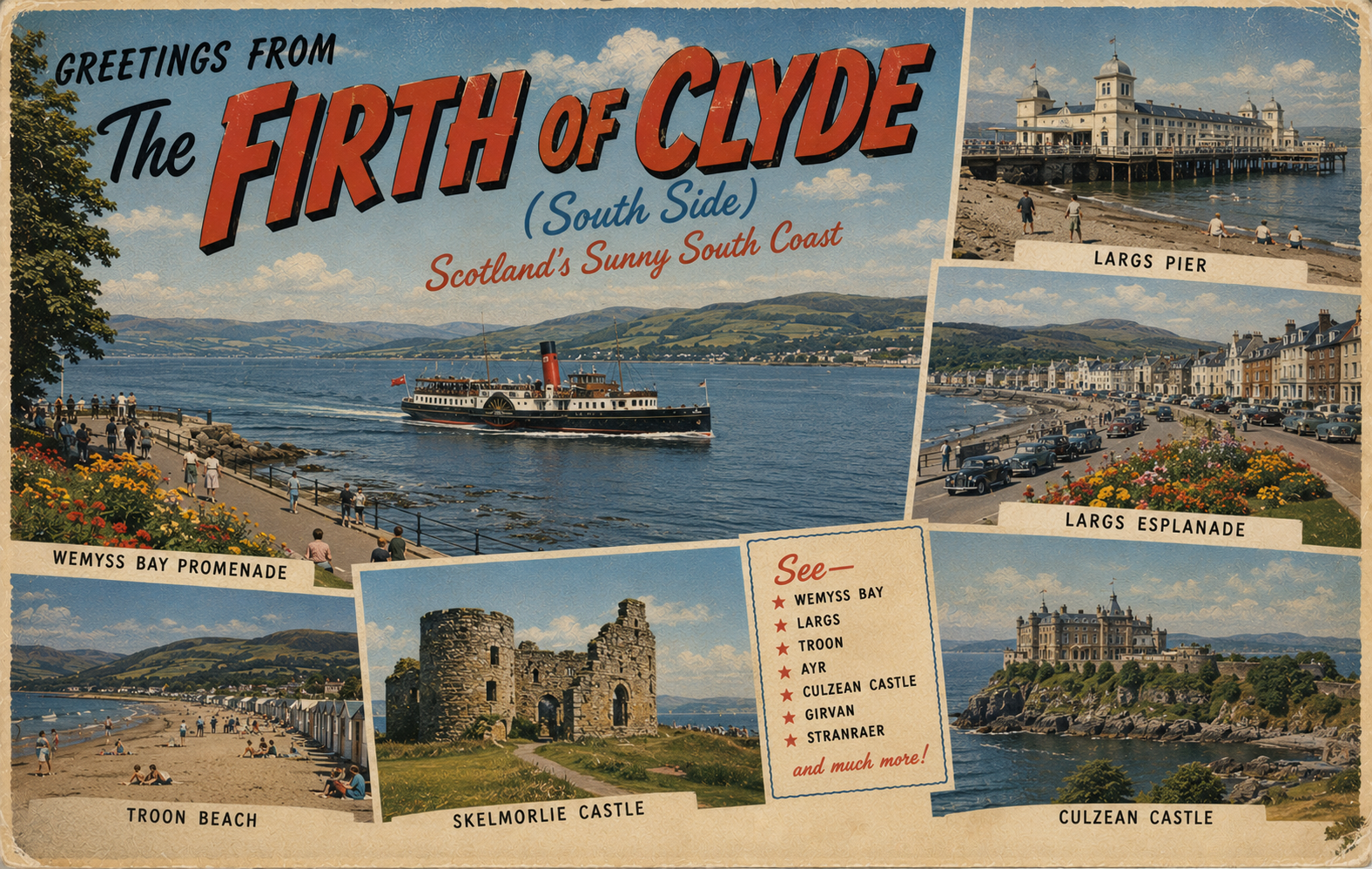
Largs – a coastal town with relatively accessible waters and proximity to sheltered channels.
-
Millport (Great Cumbrae) – situated within a partially enclosed setting that may offer some protection depending on wind direction.
-
Loch Riddon – a narrow sea loch providing more enclosed conditions compared to the open firth.
-
Ardrossan – a harbour area along an otherwise open stretch, where conditions can be influenced by prevailing winds.
Practical Mooring & Anchorage Locations
Largs Yacht Haven
- Type: Marina
- Shelter: Well sheltered from most directions, particularly W through N
- Exposure: Some exposure to strong SE winds on approach
- Key Constraints: Busy marina traffic; berth availability can be limited in peak season
- Traffic Level: High
- Liveaboard Suitability: High
- Notes: Full-service marina with reliable access at most states of tide. Popular base for extended stays.
Millport Bay (Great Cumbrae)
- Type: Anchorage
- Shelter: Good shelter from W and NW
- Exposure: Open to SE and E winds
- Key Constraints: Limited shelter in easterlies; mooring buoys may restrict anchoring space
- Traffic Level: Medium
- Liveaboard Suitability: Medium
- Notes: Common stop for visiting boats with decent holding. Shore access straightforward near town.
Loch Riddon
- Type: Sea Loch Anchorage
- Shelter: Excellent shelter in most wind directions
- Exposure: Minimal, though gusts may funnel in strong winds
- Key Constraints: Narrow entrance; attention required for navigation and depth
- Traffic Level: Low
- Liveaboard Suitability: High
- Notes: Quiet and enclosed anchorage with good holding. Suitable for extended stays in settled and unsettled weather.
Ardrossan Harbour
- Type: Harbour / Marina
- Shelter: Good shelter within harbour walls
- Exposure: Approach exposed to W and SW winds
- Key Constraints: Ferry traffic; harbour movements require awareness
- Traffic Level: High
- Liveaboard Suitability: Medium
- Notes: Secure berthing available with basic facilities. Access generally straightforward but can be busy.
Troon Yacht Haven
- Type: Marina
- Shelter: Very well sheltered in all conditions
- Exposure: Minimal once inside; outer approach affected by W winds
- Key Constraints: Commercial and leisure traffic; prior booking advisable
- Traffic Level: High
- Liveaboard Suitability: High
- Notes: Large, well-equipped marina with full services. Suitable for longer-term stays.
Kip Marina (Inverkip)
- Type: Marina
- Shelter: Excellent shelter from all directions
- Exposure: Negligible within marina basin
- Key Constraints: Access channel requires attention; marina traffic
- Traffic Level: Medium
- Liveaboard Suitability: High
- Notes: Well-protected marina with comprehensive facilities. Common base for residential and long-term berthing.
Operational Support Infrastructure (Public Services)
Healthcare
Healthcare services are available within coastal towns and nearby inland areas, typically in the form of general medical facilities and regional hospitals.
Emergency Services
Emergency response services operate throughout the region, with coverage extending across coastal and island communities. Response times may vary depending on location.
Postal Services
Postal services are generally accessible within established settlements, with standard delivery and collection arrangements.
Civic Services
Local authorities provide civic services including waste management and public amenities in populated areas, though availability may be reduced in less developed stretches.
Visitor Information
Visitor information is typically available within larger towns and regional centres, offering general guidance on the surrounding area and coastal access.
Practical Notes for Boaters
This section will be developed over time based on direct experience and relevant contributions. The focus is on practical usefulness rather than completeness.
From the Project
Observations and notes from the ongoing boat conversion and coastal exploration project will be added here as they become available.
Related Knowledge Base
- Coastal erosion processes
- Sedimentary rock formations
- Harbour types and access
- Tidal patterns and coastal conditions
Status
This is part of a growing coastal index. Content will be expanded over time as the project develops.