




Firth of Forth Coastline
Overview
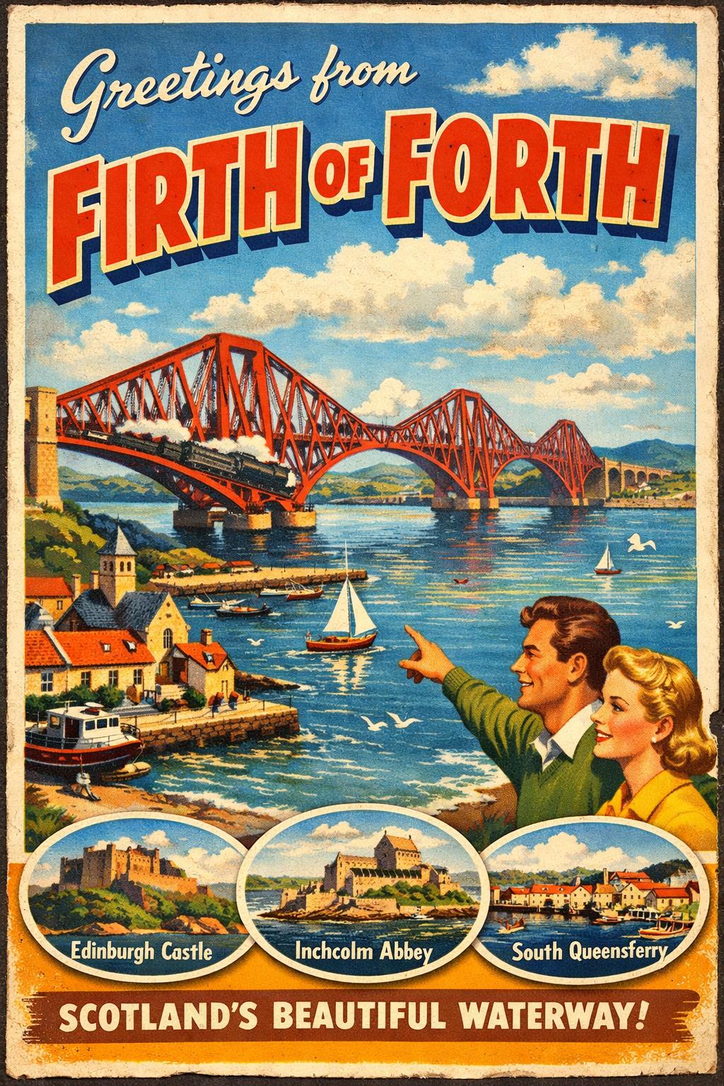
The Firth of Forth forms a broad estuarine inlet on the east coast of Scotland, extending inland from the North Sea. It is bordered by a mix of urban frontage, industrial shoreline, and more open stretches with natural features.
The coastline varies between developed waterfronts and quieter inlets, with tidal influence extending far inland. Conditions and accessibility can vary significantly depending on location and prevailing weather patterns.
Local Operating Context (for Liveaboard Boaters)
The area is subject to strong tidal movements, particularly in narrower sections of the estuary. Currents can be pronounced and may affect manoeuvrability, especially for slower vessels.
Commercial shipping activity is present in parts of the firth, requiring awareness of navigation channels and adherence to standard maritime practices.
Exposure to easterly winds from the North Sea can create choppy conditions, particularly in more open stretches. Shelter may be limited outside of natural indentations or harbour areas.
Water depth varies, with shallower zones and mudflats exposed at low tide in certain sections. Careful passage planning is often required.
Typical Conditions
- Strong tidal flows, particularly mid-estuary
- Variable sea state influenced by wind against tide
- Frequent cloud cover and shifting visibility
- Colder water temperatures year-round
Access & Shelter
- Limited natural shelter along exposed stretches
- Some protection may be found within smaller bays and inlets
- Access conditions often depend on tide height and timing
- Urban frontage may restrict informal landing opportunities
Shore Interaction
- Mixed shoreline use, including industrial and residential areas
- Access to shore may be constrained in developed zones
- Public access points are present but not uniformly distributed
- Intertidal areas may be muddy and difficult underfoot
Risk Factors
- Strong and shifting tidal currents
- Exposure to easterly winds and open sea conditions
- Commercial vessel traffic in designated channels
- Shallow areas and mudflats at low tide
Overall Character
The Firth of Forth presents a working estuarine environment with a balance of natural and developed coastal elements. It may suit boaters comfortable with tidal planning and variable conditions, though it can be less forgiving in exposed weather.
Notable Locations
North Berwick – coastal town with nearby anchorages that may offer partial shelter depending on wind direction
Inchkeith – island feature within the firth, influencing local currents and offering limited lee in certain conditions
Burntisland – small coastal settlement with frontage that may provide temporary refuge in settled weather
Leith – harbour area within an urban setting, associated with controlled access and vessel traffic
Practical Mooring & Anchorage Locations
Port Edgar (South Queensferry)
- Type: Marina
- Shelter: Good protection from most directions within the basin
- Exposure: Strong crosswinds can affect approaches outside the harbour
- Key Constraints: Tidal streams in the Forth Bridges area; marina access depth considerations at low tide
- Traffic Level: Medium
- Liveaboard Suitability: Medium
- Notes: One of the few dedicated marina facilities in the firth. Convenient access to shore and services.
Leith Harbour
- Type: Harbour
- Shelter: Fully enclosed with strong all-round protection
- Exposure: Minimal once inside; exposed approaches in strong easterlies
- Key Constraints: Controlled access, commercial traffic, and port authority regulations
- Traffic Level: High
- Liveaboard Suitability: Low
- Notes: Primarily a commercial port with restricted access. Not generally suitable for informal or long-term stays.
Granton Harbour
- Type: Harbour
- Shelter: Good protection within the harbour walls
- Exposure: Entrance can be uncomfortable in easterly winds
- Key Constraints: Silting and limited depths in places; local access considerations
- Traffic Level: Low
- Liveaboard Suitability: Low
- Notes: Quiet compared to Leith but with limited facilities. Suitable for short stays in settled conditions.
Burntisland Harbour
- Type: Harbour
- Shelter: Reasonable shelter from westerly and southerly winds
- Exposure: Open to easterly winds which can create uncomfortable conditions
- Key Constraints: Tidal access and shallow areas near entrance
- Traffic Level: Medium
- Liveaboard Suitability: Medium
- Notes: Established small harbour with regular local use. Access requires tidal awareness.
North Berwick Anchorage
- Type: Anchorage
- Shelter: Some shelter in westerly winds
- Exposure: Exposed to easterly and northerly winds from the North Sea
- Key Constraints: Holding varies; open roadstead with no formal protection
- Traffic Level: Low
- Liveaboard Suitability: Low
- Notes: Suitable only in settled weather. Primarily a fair-weather stop rather than a secure overnight location.
Aberdour / Dalgety Bay Moorings
- Type: Mooring Area
- Shelter: Partial shelter from northerly and westerly winds
- Exposure: Open to easterly winds and swell
- Key Constraints: Shallow areas and mud at low tide; local mooring availability varies
- Traffic Level: Low
- Liveaboard Suitability: Low
- Notes: Informal mooring areas used by local vessels. Best suited to short stays with careful tidal planning.
Operational Support Infrastructure (Public Services)
Healthcare
Healthcare facilities are available within surrounding urban areas, with hospitals and clinics located in nearby settlements and accessible by road from coastal access points.
Emergency Services
Emergency response services operate throughout the region, including coastguard coverage and standard emergency call systems. Response times may vary depending on exact location.
Postal Services
Postal services are accessible within nearby towns and settlements along the coastline, generally within reasonable distance of landing points.
Civic Services
Local authorities provide standard civic infrastructure in adjacent settlements, including waste management and public amenities, though direct shoreline access may vary.
Visitor Information
Visitor information services are available within larger towns and settlements bordering the firth, offering general regional guidance rather than boating-specific support.
Practical Notes for Boaters
This section will be developed over time based on direct experience and relevant contributions. The focus is on practical usefulness rather than completeness.
From the Project
Observations and notes from the ongoing boat conversion and coastal exploration project will be added here as they become available.
Related Knowledge Base
- Coastal erosion processes
- Sedimentary rock formations
- Harbour types and access
- Tidal patterns and coastal conditions
Status
This is part of a growing coastal index. Content will be expanded over time as the project develops.