




Tidal Navigation & West Coast Cargo Routes
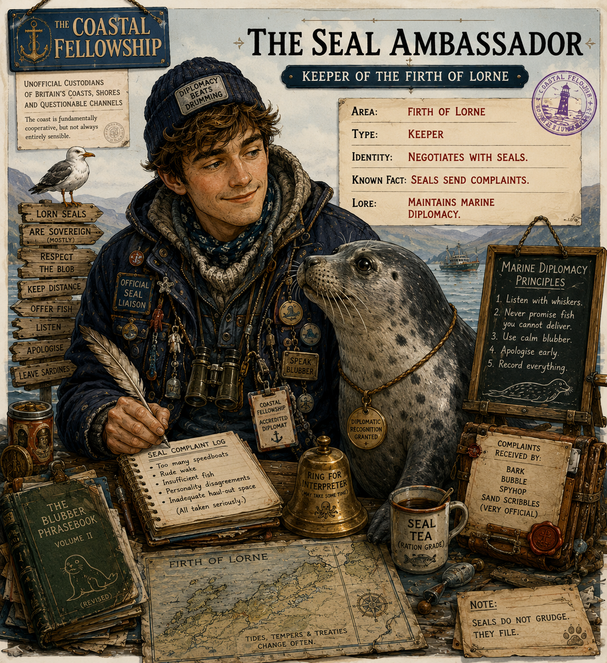
The Firth of Lorne is a working west-coast waterway where tidal navigation, island communications and coastal trade have long been closely connected. Oban is the principal harbour, with approaches through the North Channel and the South Channel around Kerrera. The wider maritime area includes the waters of the Sound of Mull, Lismore and the passages towards the outer islands. Strong tidal streams are a practical feature of the region, particularly at Connel, where the powerful flow between Loch Etive and the firth has long influenced navigation.
Oban developed as a coastal trading and shipping centre because of its sheltered anchorage and position on routes between mainland Argyll and the islands. From the eighteenth century onwards, the settlement became increasingly associated with regular coastal shipping. The expansion of steam navigation during the nineteenth century strengthened its role as a point for the movement of passengers, provisions and cargoes to the islands and along the western seaboard. The harbour was progressively improved to accommodate the growing volume of maritime traffic.
The development of Oban's piers reflects this change. South Pier was constructed during the expansion of the steamer services, while later improvements to navigation included Dunollie Lighthouse, established in the late nineteenth century to assist vessels approaching the harbour. The combination of piers, anchorages, navigation marks and harbour facilities allowed Oban to function as a regular calling point rather than simply as a local fishing harbour.
Ferrying has also been an established part of the coastal economy. Before modern roads and regular steamship services altered the pattern of movement, crossings between the mainland, Kerrera and neighbouring islands provided essential communications for people, livestock and goods. Ferry services continue to connect the islands with the mainland, although their vessels, schedules and operating arrangements are now modern. Lismore, Mull, Seil and Luing remain connected by regular ferry services in the wider Firth of Lorne area, while smaller crossings retain a distinctly local function.
Fishing remains part of the working waterfront at Oban and in the surrounding waters. Its scale and methods have changed, and the present fishing industry should not be regarded as an unchanged continuation of earlier coastal fisheries. Nevertheless, fishing vessels continue to use the harbour alongside ferries, cargo vessels and other commercial traffic. Oban's waterfront therefore retains a mixed maritime function, with fishing, freight and passenger transport operating within the same tidal environment.
There is no single ceremonial custom that can be regarded as representative of the whole firth. Maritime continuity is more evident in practical working traditions: the use of established ferry routes, commercial piers and fishing berths, together with continued attention to tidal streams, channels and harbour approaches. Local knowledge remains particularly relevant where strong currents, narrow passages and exposed approaches affect the safe movement of vessels.
The character of the Firth of Lorne has consequently changed without losing its fundamental connection with the sea. Older patterns of coastal trade and ferry communication established Oban and the surrounding islands within a closely linked maritime network. Modern ferries, fishing vessels and cargo movements continue that function in altered form. For the present-day mariner, the area's strongest cultural continuity lies in the practical use of its tidal waters, established routes and working harbours.

Comments