




North Highland Coast
Overview
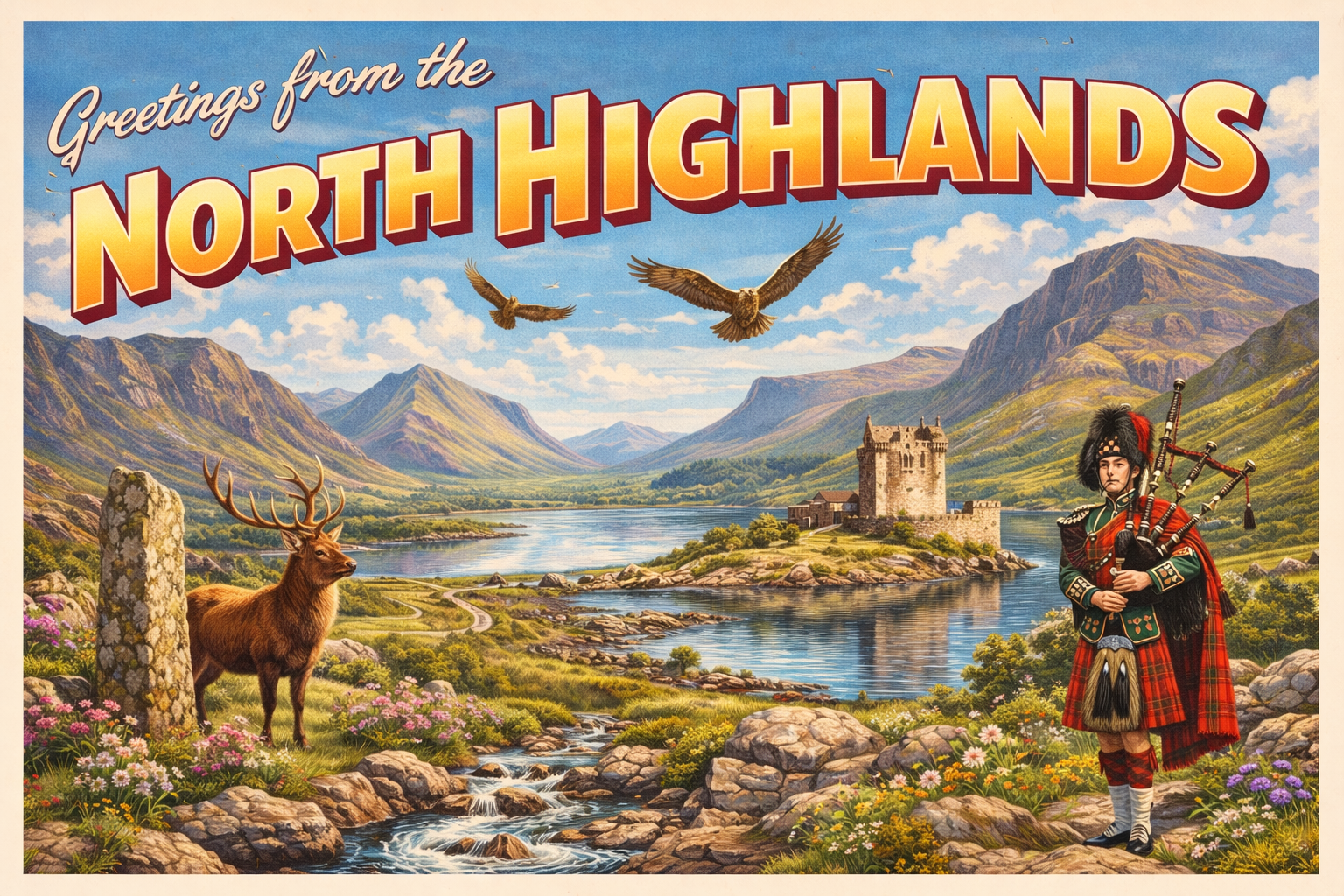
The North Highland Coast stretches across the northernmost mainland of Scotland, facing the North Atlantic and the Pentland Firth. It is characterised by rugged cliffs, open bays, and a generally sparse human presence. Settlements are widely spaced, and much of the shoreline remains undeveloped.
The area is known for its exposed nature and variable sea conditions. Navigation along this coast typically requires careful attention to weather patterns, tidal flows, and limited shelter options. Conditions can change quickly, particularly in more open stretches.
Local Operating Context (for Liveaboard Boaters)
For liveaboard boaters, the North Highland Coast presents a largely self-sufficient operating environment. Shoreside support is minimal, and access to services may involve travel inland from small coastal settlements.
Passage planning is important due to the distances between viable stopping points. Opportunities for resupply or safe anchorage are not frequent and may depend heavily on prevailing conditions.
Tidal influences, particularly near the Pentland Firth, can be significant and require careful timing. Localised effects such as overfalls and strong currents are not uncommon.
Communications coverage may be inconsistent in more remote sections, and contingency planning is advisable when operating in less accessible areas.
Typical Conditions
- Open exposure to northerly and westerly weather systems
- Variable sea states, with potential for swell in exposed areas
- Strong tidal streams in constricted channels and headlands
- Rapidly changing weather conditions
Access & Shelter
- Limited natural harbours and anchorages along extended stretches
- Some bays may offer temporary shelter depending on wind direction
- Headlands can create localised shelter but may also produce turbulence
- Access points often require cautious approach due to seabed and swell
Shore Interaction
- Small coastal communities with limited facilities
- Landing can be affected by swell and lack of sheltered shorelines
- Access to inland services may require additional transport
- Interactions are generally low-density and infrequent
Risk Factors
- Exposure to Atlantic weather systems with limited warning
- Strong and complex tidal movements, especially near narrow channels
- Scarcity of safe refuge in deteriorating conditions
- Potential for isolation in the event of mechanical or navigational issues
Overall Character
The North Highland Coast has a remote and exposed character, with a strong emphasis on self-reliance. It may suit those prepared for variable conditions and limited infrastructure, where careful planning and flexibility are important.
Notable Locations
-
Scrabster Harbour – a coastal harbour near Thurso, often used as a staging point for Pentland Firth passages
-
Gills Bay – a small bay offering limited shelter, with conditions influenced by nearby tidal flows
-
Tongue Bay – a broad inlet that may provide some anchorage options depending on weather direction
-
Durness – a remote coastal area with open exposure and limited access points for landing
Practical Mooring & Anchorage Locations
Scrabster Harbour
- Type: Harbour
- Shelter: South, South-East, East
- Exposure: Strong northerly and north-westerly swell can cause uncomfortable conditions at outer berths
- Key Constraints: Busy fishing and ferry traffic; strong tidal conditions in adjacent Pentland Firth waters; berth availability may vary
- Traffic Level: High
- Liveaboard Suitability: Medium
- Notes: Primary mainland staging point for Pentland Firth crossings. Good access to Thurso for supplies and services.
Gills Bay
- Type: Harbour
- Shelter: South-East through South-West (limited by harbour structure)
- Exposure: Northerly swell and strong wind chop can make conditions uncomfortable outside sheltered periods
- Key Constraints: Ferry operations to Orkney create wash and traffic; strong tidal streams in nearby waters; limited leisure berthing space
- Traffic Level: Medium
- Liveaboard Suitability: Medium-Low
- Notes: Primarily a ferry terminal with constrained recreational facilities. Suitable for short stays in settled weather.
Tongue Bay (Kyle of Tongue)
- Type: Estuary
- Shelter: South, South-East, East (inner areas only)
- Exposure: North and North-West winds funnel into outer sections; shallow areas exposed at low tide
- Key Constraints: Strong tidal flow over the bar; depth limitations and drying areas; careful pilotage required
- Traffic Level: Low
- Liveaboard Suitability: Medium-Low
- Notes: Offers scenic and sheltered inner anchorage in suitable conditions. Entry is highly tide-dependent.
Loch Eriboll
- Type: Anchorage (Sea Loch)
- Shelter: All directions within inner loch, particularly good from Atlantic swell
- Exposure: Outer approaches exposed to northerly swell and strong winds
- Key Constraints: Deep water throughout; occasional military or training activity; careful positioning needed in strong winds
- Traffic Level: Low
- Liveaboard Suitability: High
- Notes: One of the most secure natural anchorages on the north coast. Widely used as an overnight and waiting area for weather windows.
Kinlochbervie Harbour
- Type: Harbour
- Shelter: East through South-West (good within inner basin)
- Exposure: Westerly and north-westerly swell can affect outer approaches
- Key Constraints: Active fishing harbour; limited leisure berthing but generally accommodating; swell entry possible in poor weather
- Traffic Level: Medium
- Liveaboard Suitability: Medium-High
- Notes: Useful refuge on the remote north-west Sutherland coast. Good proximity to limited local provisions and services.
Loch Laxford
- Type: Anchorage (Sea Loch)
- Shelter: South, East, West (varies by position within loch)
- Exposure: Northern winds can funnel in outer sections; reduced swell penetration compared to open coast
- Key Constraints: Uneven depths and kelp patches in places; anchoring requires careful selection of holding ground
- Traffic Level: Low-Medium
- Liveaboard Suitability: Medium-High
- Notes: Generally calm and well-sheltered sea loch with good holding in suitable areas. Popular for quiet anchorage away from main routes.
Operational Support Infrastructure (Public Services)
Healthcare
Healthcare provision is limited to small local facilities, with more comprehensive services located at greater distances inland or in larger regional centres.
Emergency Services
Emergency response coverage exists but may involve extended response times due to the remoteness and dispersed population.
Postal Services
Postal services are available within settlements but may operate on reduced schedules compared to urban areas.
Civic Services
Basic civic services are present in local communities, though capacity and availability can be limited and vary by location.
Visitor Information
Visitor information is generally provided through small local outlets or regional centres, with limited availability along more remote stretches of the coast.
Practical Notes for Boaters
This section will be developed over time based on direct experience and relevant contributions. The focus is on practical usefulness rather than completeness.
From the Project
Observations and notes from the ongoing boat conversion and coastal exploration project will be added here as they become available.
Related Knowledge Base
- Coastal erosion processes
- Sedimentary rock formations
- Harbour types and access
- Tidal patterns and coastal conditions
Status
This is part of a growing coastal index. Content will be expanded over time as the project develops.