





Moray Firth Coast
Overview
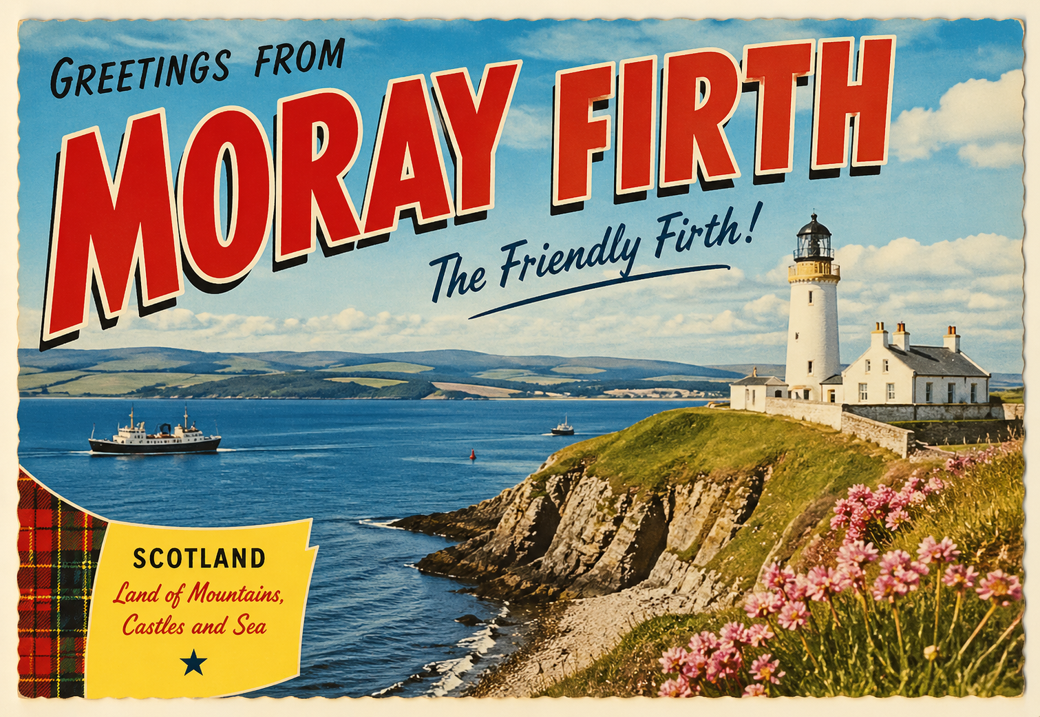
The Moray Firth coast forms a broad inlet along the northeast of Scotland, extending between headlands and encompassing a mix of open shoreline, small settlements, and river inlets.
The coastline varies between low-lying stretches and more defined coastal features, with exposure to North Sea conditions influencing much of the area.
Local Operating Context (for Liveaboard Boaters)
This area is characterised by relatively open water with limited natural shelter along significant sections of the coast.
Tidal movement within the firth can be notable, particularly near river mouths and narrowing coastal features.
Weather systems from the North Sea can develop quickly, and conditions may shift within short timeframes.
Settlements are dispersed, and infrastructure varies, requiring a degree of self-sufficiency for extended stays.
Typical Conditions
- Moderate to strong tidal flows in certain areas
- Exposure to easterly and northerly winds
- Variable sea states depending on weather systems
- Periods of reduced visibility due to mist or low cloud
Access & Shelter
- Limited natural harbours along open stretches
- Some river estuaries may provide partial shelter depending on tide
- Access conditions can vary with swell direction and wind strength
- Holding ground quality may be inconsistent in exposed areas
Shore Interaction
- Landing points may be affected by tidal range and beach gradients
- Access to shore can depend on local conditions and sea state
- Settlements are often small and spaced apart
- Interaction with shore facilities may be limited in less populated areas
Risk Factors
- Exposure to North Sea weather patterns
- Changing tidal conditions near river mouths
- Limited shelter options in deteriorating conditions
- Navigational considerations in low visibility
Overall Character
The Moray Firth coast presents a generally open and weather-influenced environment, where planning and awareness of conditions are important. It may suit those prepared for variable exposure and relatively limited shelter options.
Notable Locations
-
Inverness – positioned at the inner end of the firth, with river access that may offer more sheltered conditions depending on flow and tide.
-
Nairn – a coastal town with an open shoreline where shelter can be limited in onshore winds.
-
Lossiemouth – located near river outflow, where tidal movement and sea state can influence access.
-
Cromarty – situated on a narrowing of the firth, where conditions may be shaped by tidal streams and surrounding land.
Practical Mooring & Anchorage Locations
Inverness Harbour & River Ness
- Type: Harbour / River Mooring
- Shelter: Good shelter from most wind directions once inside
- Exposure: Entrance can be affected by strong easterlies and swell
- Key Constraints: Tidal flow in river; lock access to Caledonian Canal; commercial traffic
- Traffic Level: Medium
- Liveaboard Suitability: Medium
- Notes: One of the most sheltered options in the firth. Facilities available but space may be limited.
Cromarty Harbour
- Type: Harbour / Anchorage
- Shelter: Well sheltered from most directions within the firth narrows
- Exposure: Strong tidal streams can create uncomfortable conditions
- Key Constraints: Significant commercial shipping (oil rigs, tankers); tidal currents
- Traffic Level: High
- Liveaboard Suitability: Medium
- Notes: Good holding in places but requires awareness of traffic. Anchorage areas are used but not extensive.
Fortrose & Rosemarkie Bay
- Type: Anchorage
- Shelter: Sheltered from westerly winds
- Exposure: Exposed to northerly and easterly winds
- Key Constraints: Open roadstead; limited protection; swell can build quickly
- Traffic Level: Low
- Liveaboard Suitability: Low
- Notes: Used in settled weather only. Not suitable in deteriorating conditions.
Nairn Harbour
- Type: Harbour
- Shelter: Limited shelter once inside
- Exposure: Entrance highly exposed to northerly and easterly winds
- Key Constraints: Tidal access; silting; narrow entrance; drying in places
- Traffic Level: Low
- Liveaboard Suitability: Low
- Notes: Primarily suited to small local vessels. Not reliable for consistent access.
Lossiemouth Harbour
- Type: Harbour
- Shelter: Good shelter inside basin
- Exposure: Entrance affected by swell and onshore winds
- Key Constraints: Tidal considerations; shifting sandbars near entrance; fishing activity
- Traffic Level: Medium
- Liveaboard Suitability: Medium
- Notes: Access can be restricted in poor conditions. Inner harbour provides more protection.
Burghead Harbour
- Type: Harbour
- Shelter: Moderate shelter from westerly winds
- Exposure: Exposed to northerly and easterly swell
- Key Constraints: Surge in certain conditions; limited space; fishing harbour
- Traffic Level: Low
- Liveaboard Suitability: Low
- Notes: Can become uncomfortable with swell entering harbour. Best used for short stays.
Operational Support Infrastructure (Public Services)
Healthcare
Healthcare services are available within larger settlements in the region, with more comprehensive provision typically found inland or in regional centres.
Emergency Services
Emergency response coverage extends across the coastline, though response times may vary depending on location and conditions.
Postal Services
Postal services operate within coastal towns and villages, generally aligned with standard regional service patterns.
Civic Services
Basic civic services are present in populated areas, with broader administrative functions located in larger towns.
Visitor Information
Visitor information is typically available within established towns, though provision may be limited in smaller or more remote locations.
Practical Notes for Boaters
This section will be developed over time based on direct experience and relevant contributions. The focus is on practical usefulness rather than completeness.
From the Project
Observations and notes from the ongoing boat conversion and coastal exploration project will be added here as they become available.
Related Knowledge Base
- Coastal erosion processes
- Sedimentary rock formations
- Harbour types and access
- Tidal patterns and coastal conditions
Status
This is part of a growing coastal index. Content will be expanded over time as the project develops.
