



Shetland Isles
Overview
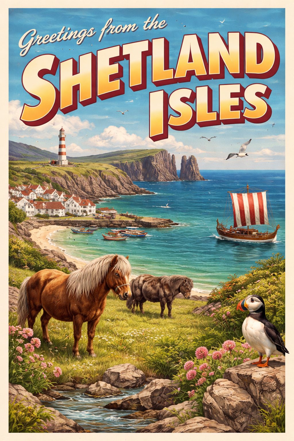
The Shetland Isles form a remote archipelago to the north of mainland Scotland, characterised by an indented coastline, numerous voes, and scattered offshore skerries. The area presents a distinctly maritime environment, shaped by exposure to the North Atlantic and the northern North Sea.
Settlements are dispersed and generally small, with coastal access often influenced by local geography and prevailing weather. The landscape is largely treeless, with low-lying terrain and open horizons contributing to a sense of exposure.
Local Operating Context (for Liveaboard Boaters)
Operating in these waters requires careful planning due to distance from mainland support and the limited availability of sheltered anchorages in certain wind directions. Conditions can change quickly, particularly with the passage of Atlantic weather systems.
Navigation is influenced by numerous small islands, reefs, and tidal races, especially in constricted channels. Charts and local knowledge, alongside other seamanship knowledge sources, are important, as hazards may not always be visually apparent in moderate conditions.
Provisioning and services ashore are limited and often concentrated in a small number of settlements. Boaters may need to plan for extended periods without access to supplies or facilities.
Seasonal daylight variation is pronounced, with long summer days offering extended cruising windows, while winter brings short daylight hours and more challenging weather patterns.
Typical Conditions
- Frequent strong winds, often from the west or southwest
- Rapid weather changes with passing fronts
- Cold sea temperatures throughout the year
- Moderate to strong tidal streams in narrow sounds
Access & Shelter
- Shelter can often be found within voes, depending on wind direction
- Some natural harbours provide partial protection but may be exposed to swell
- Approaches may be constrained by reefs and shallows
- Access between islands may require timing with tidal flow
Shore Interaction
- Landing points are generally simple and may depend on tide state
- Settlements are small and widely spaced along the coast
- Shore access can be affected by swell and wind exposure
- Limited infrastructure in more remote locations
Risk Factors
- Exposure to Atlantic swell on western coasts
- Submerged hazards including skerries and reefs
- Strong tidal races in narrow channels
- Restricted support options in case of mechanical issues
Overall Character
The Shetland Isles present a remote and often demanding cruising environment, where exposure and isolation are defining features. Careful passage planning and a cautious approach are generally required, with conditions often dictating movement and anchorage choices.
Notable Locations
-
Lerwick Harbour – principal settlement with relatively sheltered waters and access to wider services
-
Scalloway – a more enclosed harbour area offering some protection in settled conditions
-
Sullom Voe – a large inlet providing extensive but condition-dependent shelter
-
Yell Sound – a significant channel with notable tidal streams between islands
Practical Mooring & Anchorage Locations
Lerwick Harbour
- Type: Harbour / Marina
- Shelter: Well protected from E, S, and W winds within inner harbour areas
- Exposure: N and NE winds can create uncomfortable conditions in outer approaches and berths
- Key Constraints: Commercial traffic, berth allocation requirements, and occasional swell penetration in strong northerlies
- Traffic Level: High
- Liveaboard Suitability: High
- Notes: Main service centre for the Shetland Isles with the most reliable facilities. Can be busy but offers the best year-round support.
Scalloway Harbour
- Type: Harbour
- Shelter: Good protection from E, S, and W winds within the inner harbour
- Exposure: N and NW winds can cause swell and chop in exposed parts of the basin
- Key Constraints: Limited space in peak periods and exposure at outer moorings in certain wind directions
- Traffic Level: Medium
- Liveaboard Suitability: High
- Notes: Established fishing and yachting harbour with reasonable access to services. Generally quieter than Lerwick but still well used.
Baltasound Harbour
- Type: Harbour
- Shelter: Good shelter from most directions except strong easterlies
- Exposure: Easterly winds and swell can make conditions uncomfortable at outer edges
- Key Constraints: Limited facilities and distance from main service centres
- Traffic Level: Low
- Liveaboard Suitability: Medium
- Notes: One of the northernmost harbours in the UK with reasonable shelter in settled conditions. Suitable for short stays or quiet layovers.
Symbister Harbour (Whalsay)
- Type: Harbour
- Shelter: Well sheltered from W through S to E winds
- Exposure: Northerly winds can create uncomfortable conditions in the entrance and outer harbour
- Key Constraints: Ferry traffic and scheduling constraints affecting manoeuvring space
- Traffic Level: Medium
- Liveaboard Suitability: Medium
- Notes: Active island ferry port with generally secure moorings. Good shelter but operational activity limits quiet anchoring.
Cullivoe Harbour (Yell)
- Type: Harbour
- Shelter: Reasonable protection from W and S winds
- Exposure: Northerly and easterly winds can produce chop and swell in exposed conditions
- Key Constraints: Small harbour with limited berthing capacity and basic facilities
- Traffic Level: Low
- Liveaboard Suitability: Medium
- Notes: Useful stopping point within Yell with straightforward access. Best used in settled or moderate conditions.
Sullom Voe
- Type: Estuary / Industrial Port
- Shelter: Excellent shelter from most wind directions within the voe
- Exposure: Strong winds funneling through the voe can create localised gusting
- Key Constraints: Heavy industrial traffic, restricted zones, and strict operational controls in parts of the area
- Traffic Level: High
- Liveaboard Suitability: Low
- Notes: Very well sheltered but primarily an industrial oil terminal area. Use is heavily constrained outside designated zones.
Operational Support Infrastructure (Public Services)
Healthcare
Healthcare provision is centred on the main settlement, with smaller facilities distributed across some islands. Access may depend on transport links and weather conditions.
Emergency Services
Emergency response services operate across the islands, including maritime response, though response times may vary depending on location and weather.
Postal Services
Postal services are available within main settlements and some outlying communities, though frequency and access may be limited in more remote areas.
Civic Services
Basic civic services are present in larger settlements, with more limited provision elsewhere. Availability may vary depending on location and season.
Visitor Information
Visitor information is typically available in principal settlements, offering general guidance on the area, though resources may be limited outside these locations.
Practical Notes for Boaters
This section will be developed over time based on direct experience and relevant contributions. The focus is on practical usefulness rather than completeness.
From the Project
Observations and notes from the ongoing boat conversion and coastal exploration project will be added here as they become available.
Related Knowledge Base
- Coastal erosion processes
- Sedimentary rock formations
- Harbour types and access
- Tidal patterns and coastal conditions
Status
This is part of a growing coastal index. Content will be expanded over time as the project develops.